CVLGrid allows the user to load a geo-reference image to display in the workspace along with the grid and overlays files. This function aids the user in understanding the model domain and locate points of interest where the grid resolution should be increased. The options in this menu are shown in Figure 4 54.
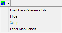
Figure 4 54 Geo-Reference dropdown menu.
Manage space
Manage content
Integrations