This function is used to create a new project model. To create a new project model, the user can either click on New Model on the main toolbar or select New Model from the Model menu as shown in Figure 1.
Then the form Grid Generator appears. There are four options to create a new grid from this form.
- Import Grids from Files: this option allows the user to import an existing grid file from multiple formats (for example CVLGrid, RGFGrid, GRID95). Multiple grid files option can be used by checking the box if the user has some sub-grids for a waterbody. Then Browse to the grid file and click OK button to finish. (see Figure 2 and Figure 3 ).
- Generate Uniform Grid: this option allows the user to generate a Cartesian grid. The user can define grid cell size and number of cells (see Figure 4 ).
- Generate Radial Grid: this option allows generating radial grid (see Figure 5).
- Generate Telescoping Grid: this option allows generating a telescoping grid (see Figure 6).
The user may need to update UTM Zone with a correct value before clicking OK button to generate a new model. The UTM Zone is not used for model computation but it is important to coordinate conversion, exporting to GIS formats as well as for downloading online data.
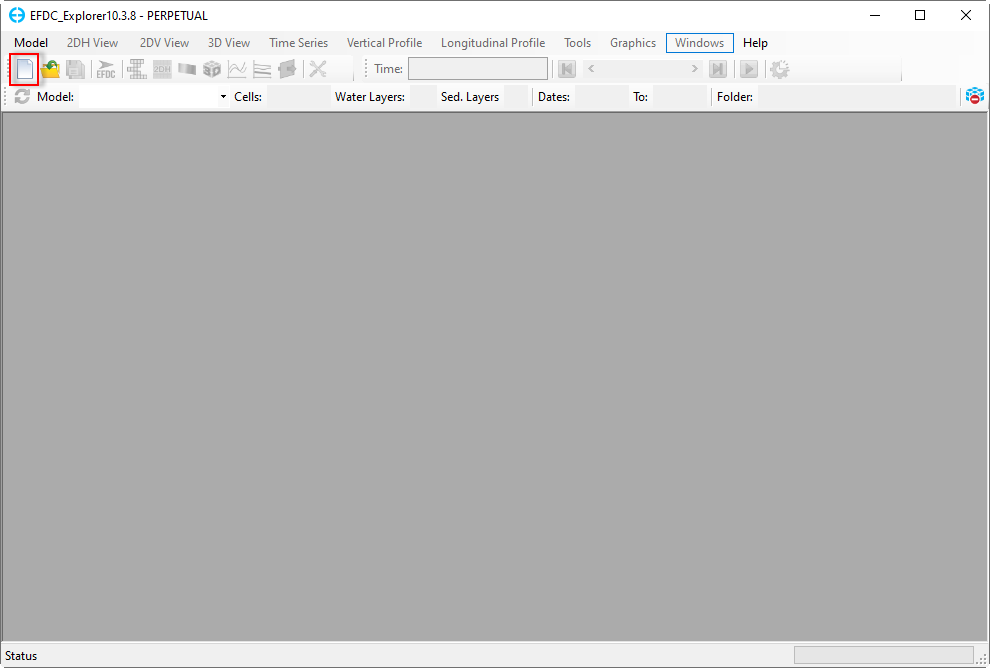
Figure 1. New Model.
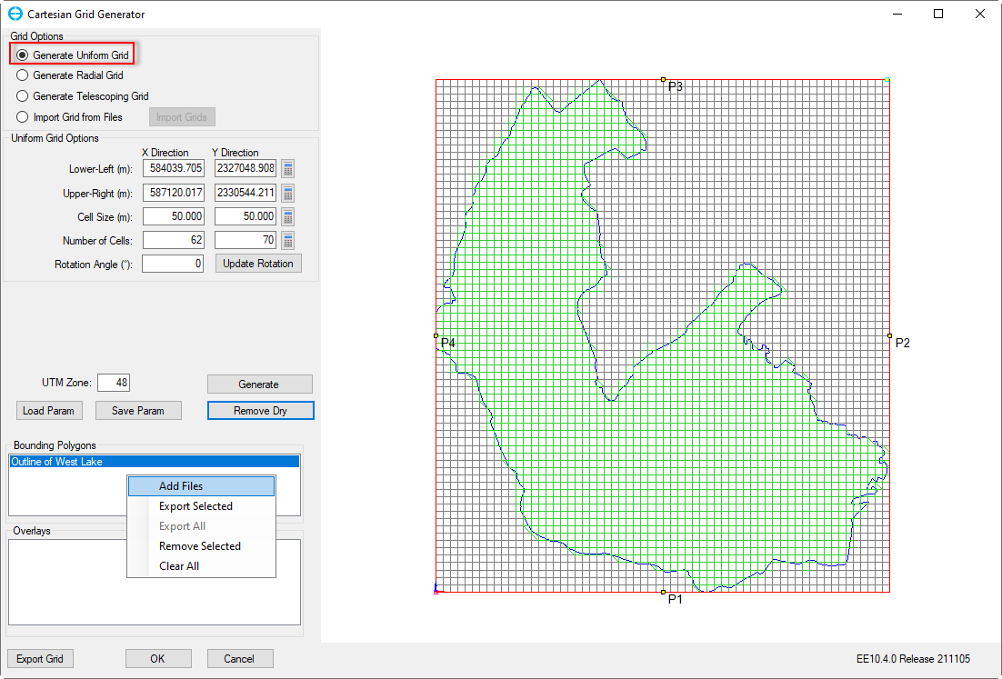
Figure 2. Generate Uniform Grid.
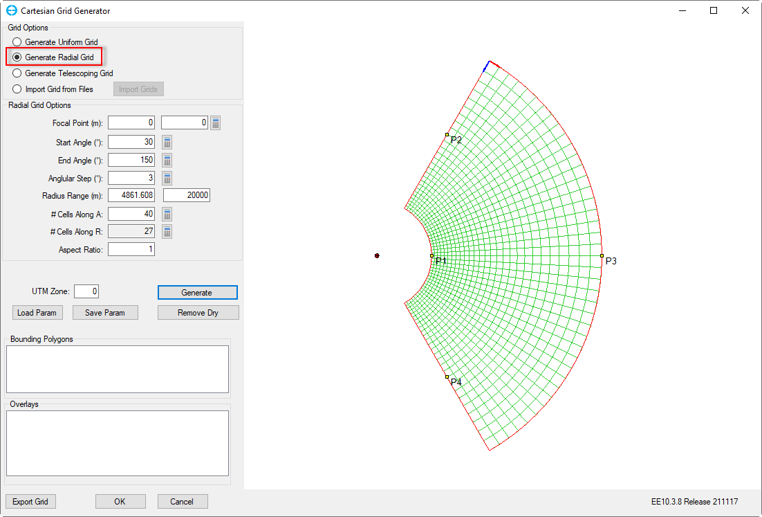
Figure 3. Generate Radial Grid.
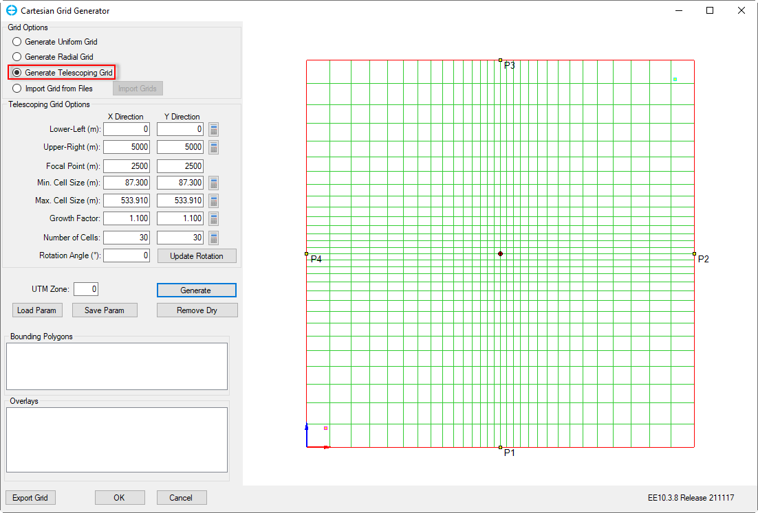
Figure 4. Generate Telescoping Grid.
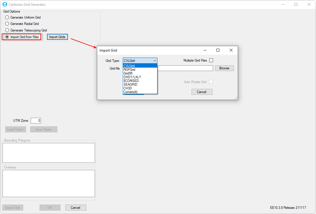
Figure 5. Import from existing grids.