...
- The purpose of determining the Magnetic Declination is to identify the True North for the site. Note that a positive declination is east, while a negative declination is west.
- Run Google Earth
- Type Lake Okeechobee in the search box then select "Enter" key on keyboard.
- On the toolbar of Google Earth, left mouse click on Tools/Options/Apply/OK. 55148612 Figure 1 and 55148612 Figure 2 show this process.
- Add a temporary placemark ( see 55148612 Figure 3) to get coordinate of the placemark
- Open USGS Web Calculator: http://ngdc.noaa.gov/geomag-web/ ( see 55148612 Figure 4).
- Copy and paste coordinates of the placemark into the USGS web calculator. Note that select S/N and W/E accurately (see 55148612 Figure 5 ) then left mouse click on Calculate button.
- Result of Magnetic Declination is displayed in 55148612 Figure 6.
- Go back the Google Earth, enter the Magnetic Declination 6.26oW (W mean that the Declination here is negative) on the heading of the placemark. (see 55148612 Figure 7) then left mouse click the OK button. We will see that the background image on Google Earth will rotate from the west to the east with an angle 6.26o.
- After the background image points the true north correctly. Now we can delete the temporary placemark by right mouse click on placemark then select Delete option.
...
- On toolbar of Google Earth, left mouse click on Tools/Options/Apply/OK. (See 55148612 Figure 8).
- Add placemark as names UL and LR
...
Figure 12 Choosing Premium resolution.
Using
...
CVLGrid
...
| Info |
|---|
Note that users can generate a Geo-reference Map in both EFDC_Explorer (EE) and CVLGid. The process for generating the map is same in both tools. |
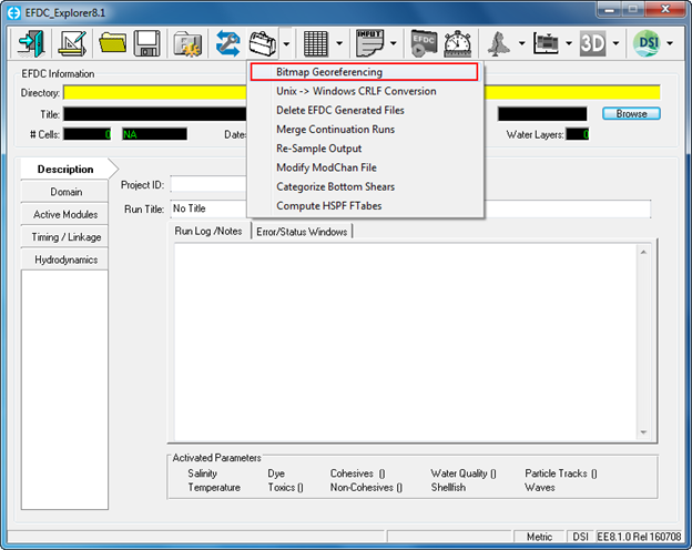
Figure 13 Geo-Referencing tool in EFDC_Explorer.
- Click on Setup in the Geo-referencing tool
...
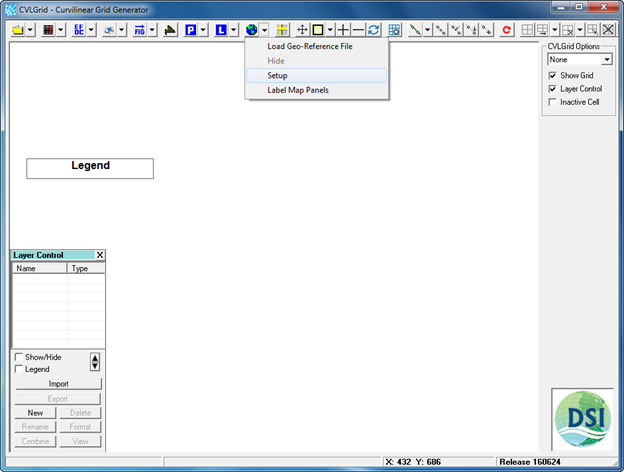
- Click on globe symbol on main menu of CVLGrid then select Setup.
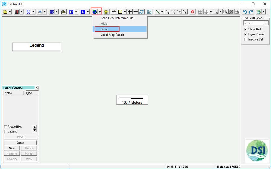
Figure 13 Geo-Referencing tool in CVLGrid.
...
- Load the bitmap file (browse to image of Lake Okeechobee, which was generated by Google Earth). The bitmap file is the image file which is called in CVLGrid. The image generated by Google Earth is a JPEG image (*.jpg), so the bitmap file is to be loaded is the JPEG image.
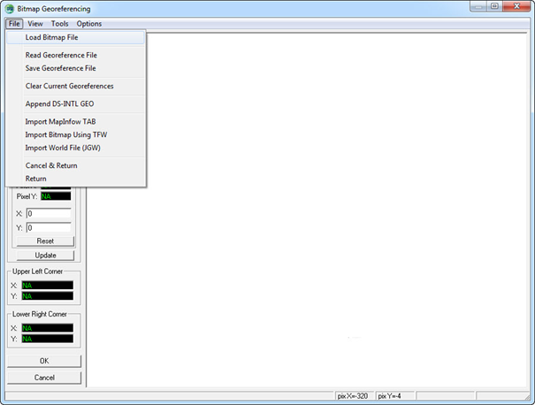
Figure 15 14 Load bitmap file.
- Right mouse click on UL then choose Point 1
- Type the Easting coordinate into X and Northing coordinate into Y
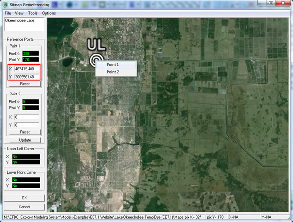
Figure 16 15 Declare UL co-ordinates.
- Right mouse click on LR then choose Point 2
- Type the Easting coordinate into X and Northing coordinate into Y
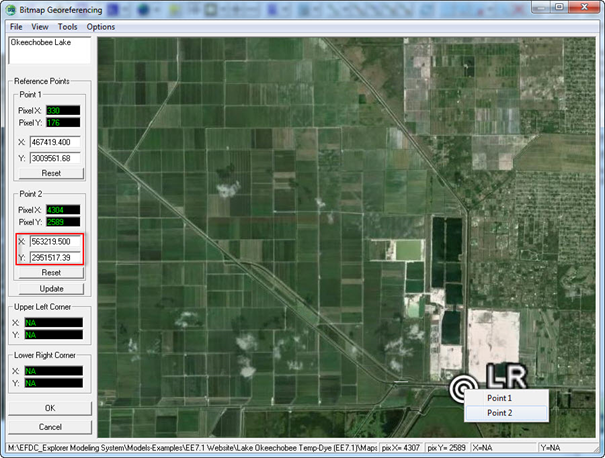
Figure 17 16 Declare LR co-ordinates.
- After typing coordinates of UL and LR then click Update button
- File/Save Geo-reference File (enter the name and folder location for the geo-reference file) then click Save button.
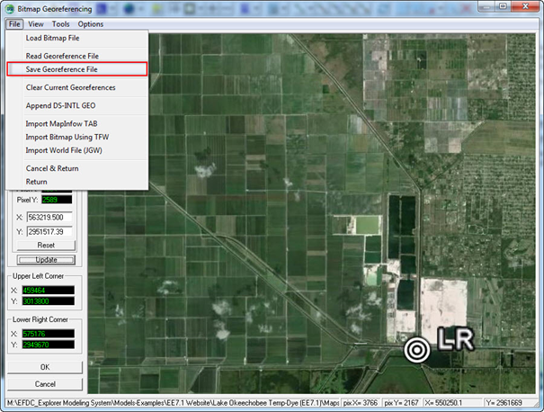
Figure 18 17 Save geo-reference file.
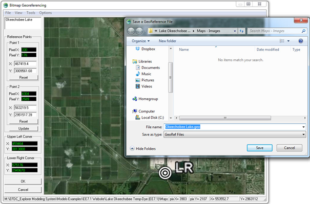
Figure 19 18 Naming and storing geo-reference file.
...
- The geo-reference file named Okeechobee Lake.geo is now generated and can be loaded at any time.
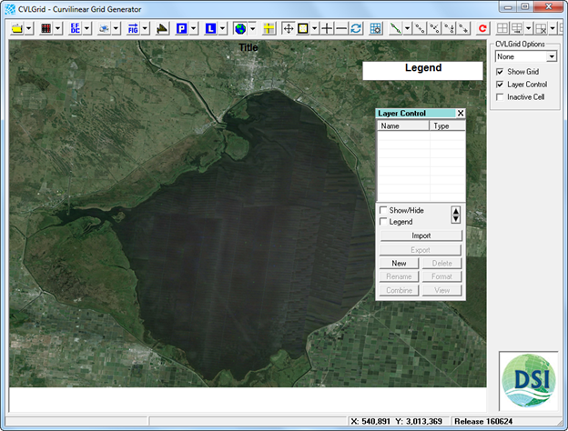
Figure 20 19 Geo-reference file loaded by CVLGrid.