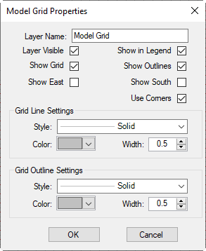
In the Layer Control, selecting the Boundaries Mode Grid layer then RMC to show options as shown in Figure 1 2090762324. These options are described below.
...
Anchor Figure 2 Figure 2
Figure 2 Layer's RMC optionsModel grid properties.
Zoom to Layer
Zoom to view the full extent of the Model Grid layer.
...
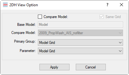
Selecting this option, the 2DH View Option form will be displayed as Figure 3 2090762324. From this form, the user can change the current layer (Model Grid) to another layer by selecting from the drop-down list in the Primary Group and Parameter.
Anchor Figure 3 Figure 3
Figure 3 Layer's RMC 2DH View options.
View Elevation-Volume
Selecting this option, the Time Series (Model) graph will be displayed as Figure 4 2090762324. It shows two correlation plots between elevation - volume and elevation - area.
...
Figure 4 Elevation vs. Area, Volume correlation plots.
Export Elevation-Volume
This option will export the time series of Elevation-Area-Volume to a file (*.dat). The file will be located in the #analysis folder as default.
Auto-rotate Cell Corners
Convert Grid Coordinates
Export to CVLGrid
This option will export the model grid to a file (*.cvl). The CVLGrid file can be opened with CVLGrid software.
Export to RGFGrid
This option will export the model grid to a file (*.grd). The grid file can be opened with CVLGrid and Delft3D software.
Export Grid Cells
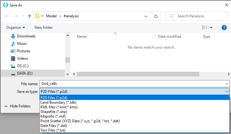
This option will export the model grid cells to a file. There are several file extensions from the drop-down list as shown in 2090762324. Select one of them then enter a file name, click Save button to export to a file.
Anchor Figure 6 Figure 6
Figure 6 Export grid cells option.
Export Grid Lines
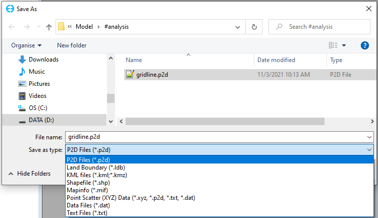
This option will export the model grid lines to a file. There are several file extensions from the drop-down list as shown in 2090762324. Select one of them then enter a file name, click Save button to export to a file.
Anchor Figure 7 Figure 7
Figure 7 Export grid lines option.
Export Grid Outlines
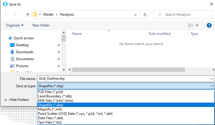
This option allows exporting the boundaries labels grid outlines to a file. After selecting this option, the Save As form will be displayed as Figure 7. Enter 2090762324. Select file type from the drop-down list, next enter a name for the file then clicks click the Save button, the file will be saved in the #analysis as default. The file contains the label's coordinate (X, Y) and labels names as shown in Figure 8.
Anchor Figure 18 Figure 18
Figure 1 Layer's RMC options8 Export grid outline.
Remove
Remove the Model Grid layer from the Layer Control frame.
...
