...
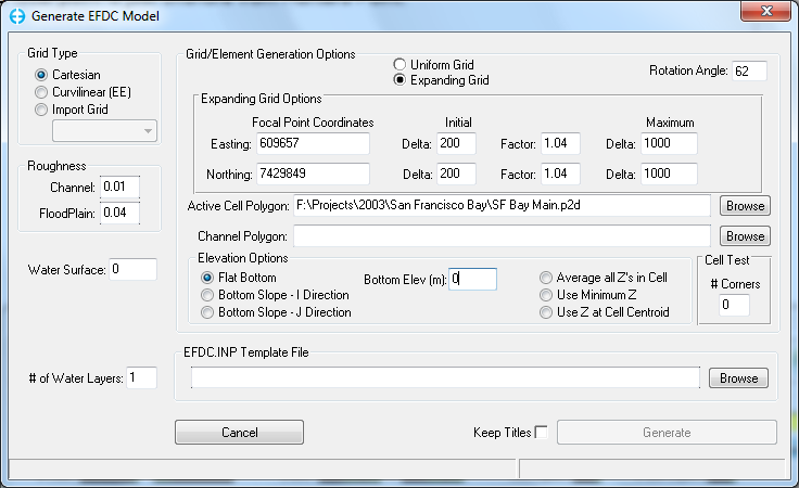
An expanding grid is simply a variable spaced Cartesian grid that expands in all directions from a focal point. The form shown in Cartesian Grid shows the parameters needed for developing an expanding grid. The user must specify the coordinates of the focal point, the initial (smallest) delta X and delta Y's, the rate at which the user wants them to expand at and the maximum cell sizes. Specify an Active Cell Polygon to trim the cells to the desired model domain. The spatial limits of the grid are set either by the topographic data or the active cell polygon.
| Anchor | ||||
|---|---|---|---|---|
|
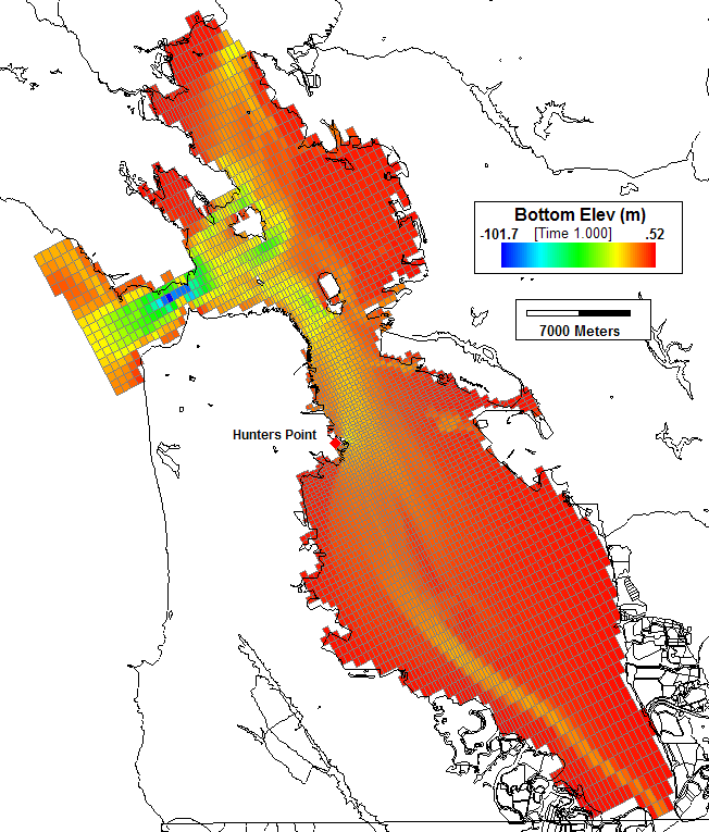
Cartesian Grid shows an example of the expanding grid developed for the San Francisco Bay. The focal point is just offshore from Hunters Point.
| Anchor | ||||
|---|---|---|---|---|
|
...


