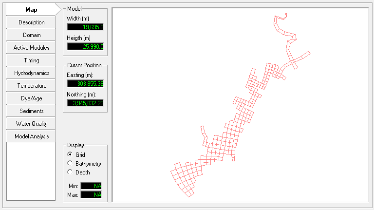
The Map tab is shown in Figure 1 and provides the user with basic model grid information such as width and height of the grid as well as a simple display. The user may select from grid, bathymetry and depth display. For display and editing of the detailed grid and most pre-processing related to the model the user should use the ViewPlan mode (available by RMC on the Map view).
| Anchor | ||||
|---|---|---|---|---|
|
Figure 1 Map Tab
The user can drag and drop an EFDC project to the map the same way they drag and drop a folder to the yellow Directory bar on the main form.