If the user does not have a XYZ file they can use the flat terrain option and change the fixed color as seen in Figure 1.
...
.
Viewing options are managed in the DEM Options frame shown in Figure
...
1.
Select the View checkbox to display the DEM. When OK pressed the user is prompted for the Generate Flat Surface Options as shown in Figure 2. Here the resolution and and dimensions of the flat terrain may be set. These may need to be adjusted when working with a coastal domain that has an open boundary.
| Anchor | ||||
|---|---|---|---|---|
|
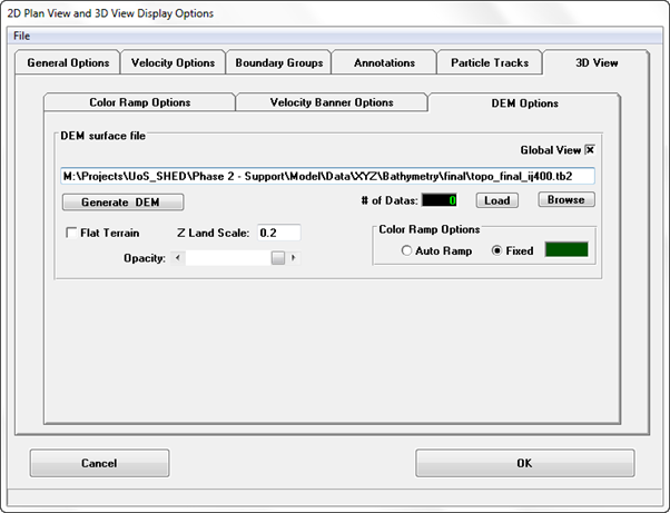
Figure 1 View3D: DEM Options.
Anchor Figure 2 Figure 2
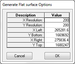
Figure 2 2 View3D: DEM Terrain – Generate Flat Surface Options.
The flat terrain generated is shown in Figure 3.
| Anchor | ||||
|---|---|---|---|---|
|
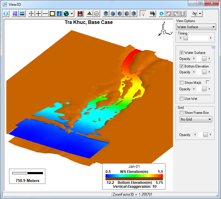 Figure 3 View3D: DEM Flat Terrain.
Scale may be adjusted as well as the background color. In order to move the level of the flat terrain up or down to an appropriate level, the user may set the Land Elevation. In this case it is set to 1, which will move the land up be one meter.
...