...
| Anchor | ||||
|---|---|---|---|---|
|
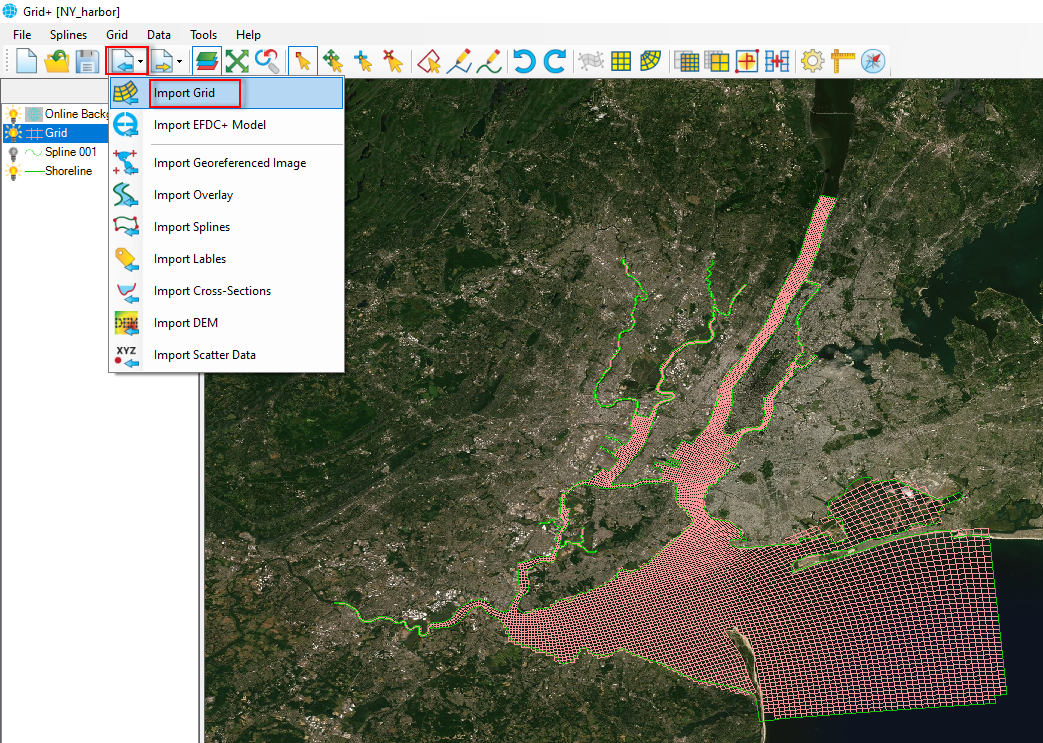
Figure 1 Import Importing a grid file.
When selecting the Import Grid option, the Import Grid form will pop up, as shown in Figure 2. We browse to the grid file. We can select many types of grids by clicking on the down arrow in the form. After selecting a grid file, click the Open button to load the file. After clicking the Open button, then the Coordinate System form will be displayed, as shown in Figure 3. It is necessary to define the correct coordinate system for the grid. Select either the Geographic system or UTM system, then click the OK button. If the wrong coordinate system is selected, the grid will be located in the incorrect location. It is then necessary to load the grid again and save it with another coordinate system.
| Anchor | ||||
|---|---|---|---|---|
|
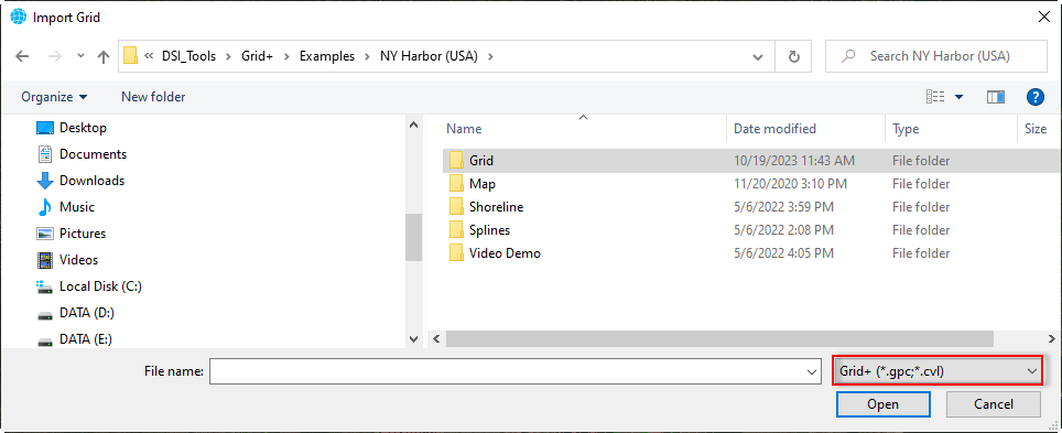
Figure 2 Browse Browsing to a gird file.
| Anchor | ||||
|---|---|---|---|---|
|
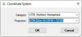
Figure 3 Define Defining the Coordinate System.
Another option is tp load the grid file by selecting the grid file (LMC) and then drag and drop the file into the workspace of Grid+.
...