...
Figure 12 Choosing Premium resolution.
Using EE
...
- Triangle symbol of Tool Bag on Main Menu of EE then select Bitmap Georeferencing.
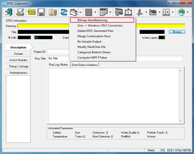
Figure 13 Geo-Referencing tool in EFDC_Explorer.
...
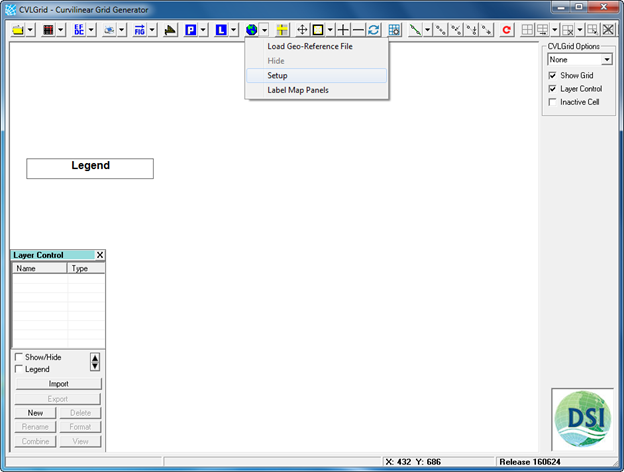
Figure 14 Geo-Referencing tool in CVLGrid.
- Load the bitmap file (browse to image of Lake Okeechobee, which was generated by Google Earth). The image generated by Google Earth is a JPEG image (*.jpg), so the bitmap file is to be loaded is the JPEG image.
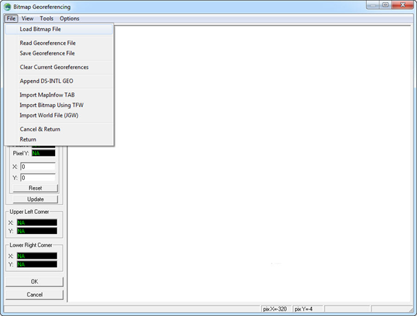
Figure 15 14 Load bitmap file.
- Right mouse click on UL then choose Point 1
- Type the Easting coordinate into X and Northing coordinate into Y
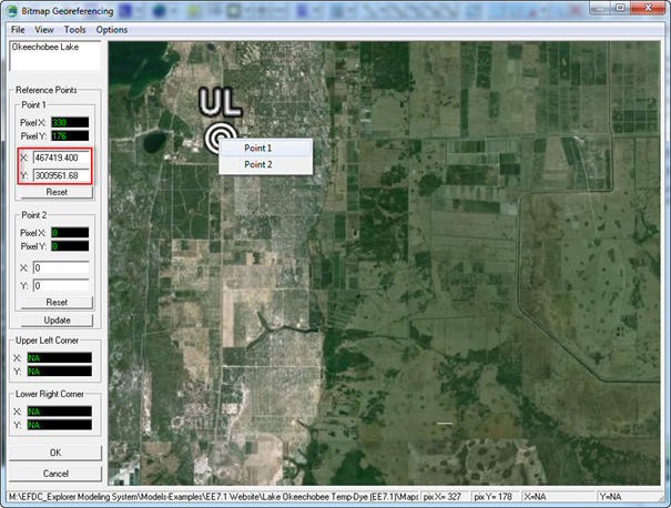
Figure 16 15 Declare UL co-ordinates.
- Right mouse click on LR then choose Point 2
- Type the Easting coordinate into X and Northing coordinate into Y
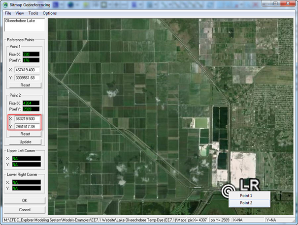
Figure 17 16 Declare LR co-ordinates.
- After typing coordinates of UL and LR then click Update button
- File/Save Geo-reference File (enter the name and folder location for the geo-reference file) then click Save button.
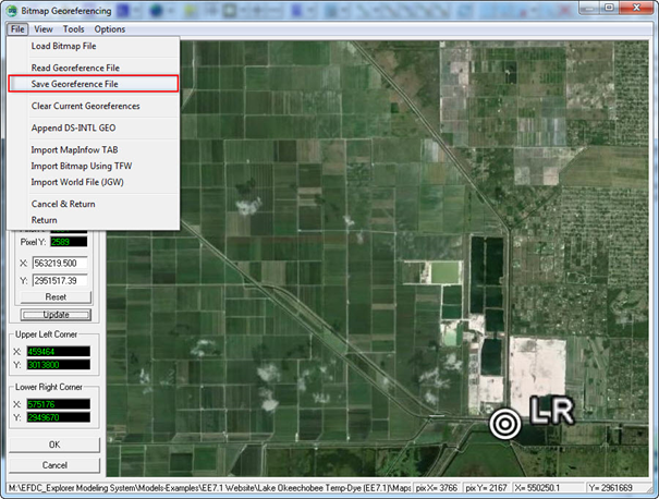
Figure 18 17 Save geo-reference file.
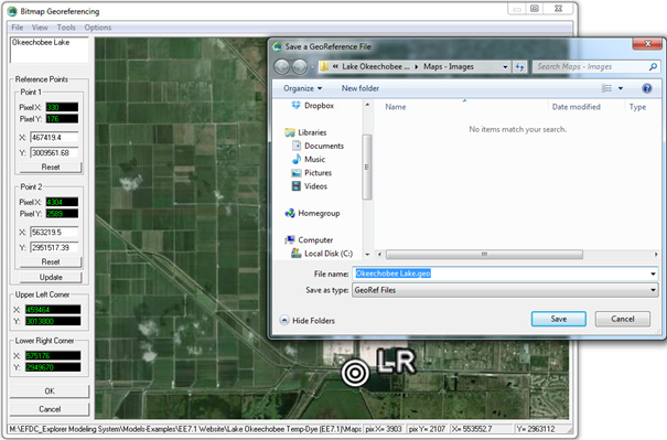
Figure 19 18 Naming and storing geo-reference file.
...
Figure 20 Geo-reference file loaded by EE in 2D Planview.