This section will guide how to load a satellite geo-referenced map from Google Earth to cover the surface of a DEM (topo) in 3D View of EFDC_+ Explorer 10.
This guidance will take the demo model DM-13 as an example because it is available on EEMS resources. The instruction is mostly presented in the EEMS 3D View.
...
Once, the Generate DEM button is selected, the Export DEM form is displayed as shown in Figure 3 1133248625. Enter a name in the File Name (e.g DEM), select the folder directory to store the file then click Save button as shown in Figure 3 1133248625.
Anchor Figure 3 Figure 3
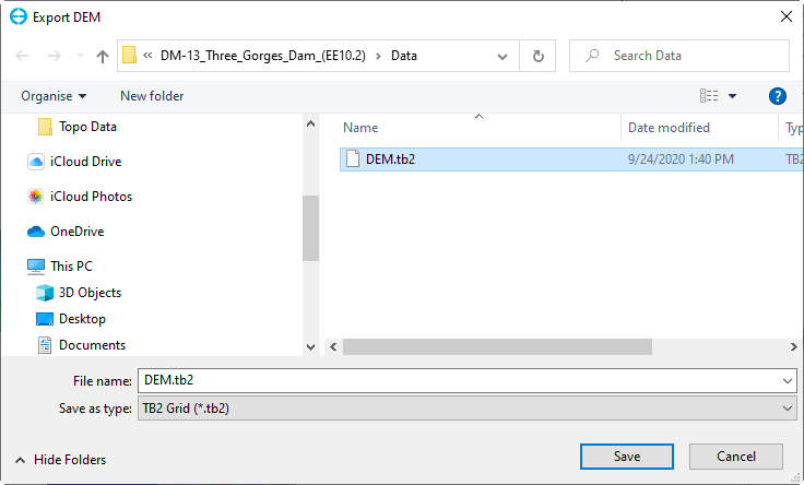
Figure 3. Export DEM to a file.
...